

GeoPortal Afghanistan
Posted 2021-02-10 10:55:26 by Chris Hill
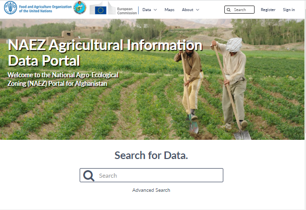
The GeoPortal Afghanistan has been created by the UN FAO, in collaboration with the Ministry of Agriculture, Irrigation and Livestock and the GeoData Institute at Southampton University, UK has created and populated a geospatial database of data and metadata generated by the national agroecological zoning programme (NAEZ) undertaken by IIASA . These data provide agrometerological, agroclimatic and overall crop suitability model raster and spreadsheet outputs for climate change scenarios for multiple crops. Data are downloadable from this site and can be viewed in the online mapping application. The data can also be explored through the online LRIMS portal ( https://lrimsfaoaf.ait.ac.th/ ) developed by AIT.